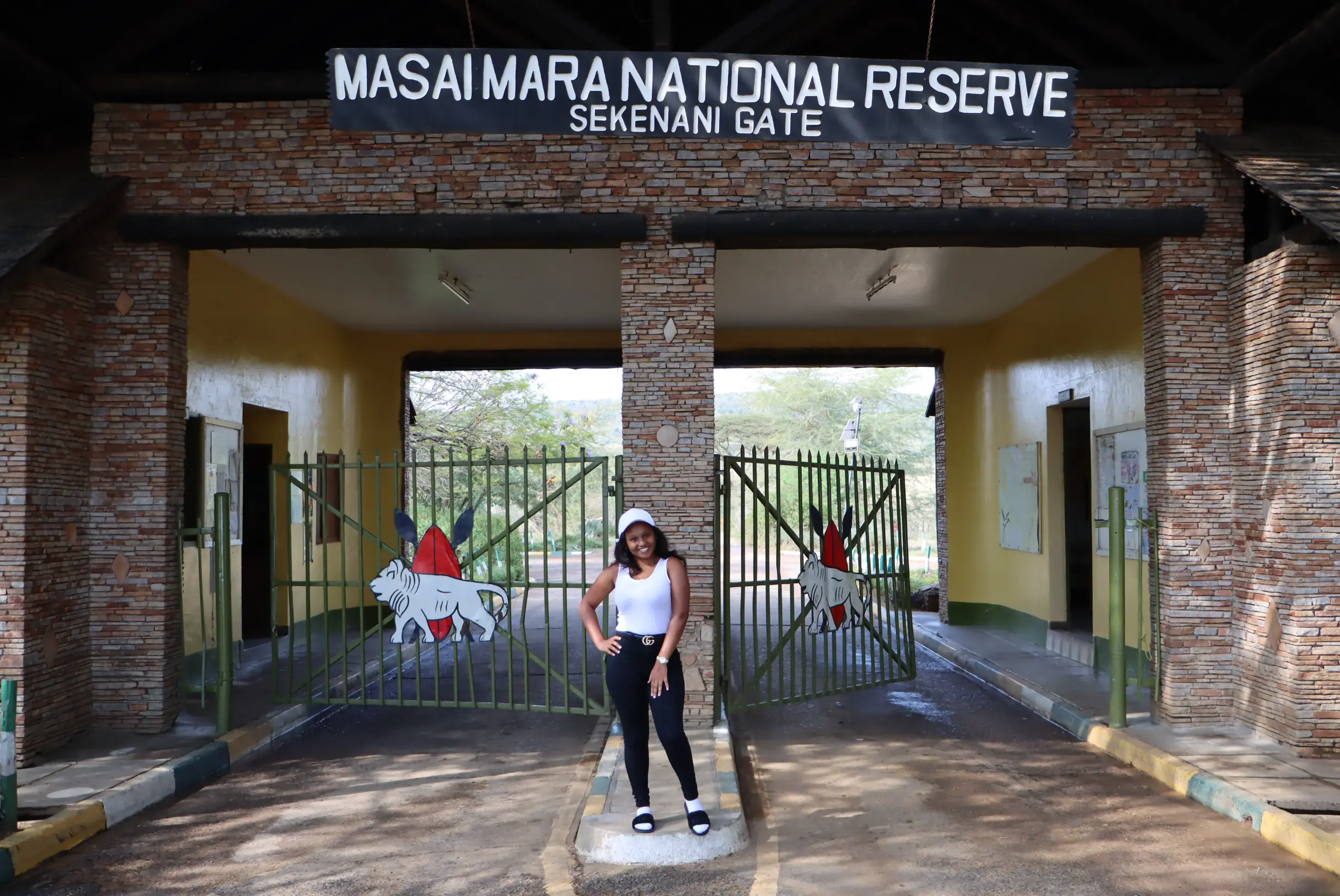
Geology of the Masai Mara National Reserve & conservancies - Kenya
The Masai Mara ecosystem plays a crucial role within the vast Great Lake Victoria basin, serving as a lifeline for diverse wildlife. To the east, the striking Ngama Hills rise, their rugged terrain shaped over millennia by volcanic forces, revealing dramatic granite and quartz rock formations.
On the opposite end, the imposing Oloololo Escarpment stretches across the northwest, forming a natural boundary for the Masai Mara. These once densely wooded cliffs have undergone significant transformation over time, altering the landscape’s original character.
The Two Lifelines of the Masai Mara
Deep within the Masai Mara National Park, two vital rivers breathe life into this iconic wilderness. The Mara River, the larger of the two, carves its way through the Masai Mara before continuing into the Serengeti National Park. Spanning an impressive 395 kilometers, with a basin area of 13,504 square kilometers, this river is the lifeblood of the region. Roughly 65% of its waters flow through Kenya, while 35% extend into Tanzania. Originating from the Napuiyapi Swamp in the Mau Escarpment of the Kenyan Highlands, it is fed by two major perennial tributaries, the Amala and Nyangores, which merge to form its mighty course. After its long journey, the Mara River flows into Lake Victoria, shaping the diverse landscapes and ecosystems of the Masai Mara along the way.
A second key waterway is the Talek River, an important tributary of the Mara River. Additional tributaries, including the Engaro, Sand, and Engito Rivers, further sustain this intricate water system. These rivers are the backbone of the Masai Mara’s geology, sculpting its rolling plains, enriching its biodiversity, and ensuring the survival of the region’s iconic wildlife. This intricate river network not only defines the breathtaking Masai Mara landscape but also reinforces its status as one of Africa’s most awe-inspiring safari destinations.
Natural Boundaries: The Role of Rivers in the Masai Mara
The Masai Mara National Reserve is naturally divided into three unique regions by its two major waterways, the Mara River and Talek River. Tucked between these rivers lies the Musiara Sector, a prime wildlife haven. To the west, the Mara Triangle stretches between the dramatic Oloololo Escarpment and the Mara River, offering breathtaking landscapes. Meanwhile, the Sekenani Sector occupies the southeastern expanse beyond the Talek and Mara Rivers.
With only a handful of river crossings available, most safari lodges conduct game drives strictly within their designated sectors, ensuring each region maintains its distinct safari experience.
Mara-Serengeti Ecosystem
Spanning approximately 1,510 square kilometers, the Masai Mara National Reserve forms a crucial part of the sprawling Mara-Serengeti ecosystem, which extends seamlessly into Tanzania. To the south, it merges with the legendary Serengeti, while the dramatic Oloololo Escarpment dominates its western boundary. Meanwhile, the north and east unfold into vast, open savannahs, punctuated by rolling hills and seasonal watercourses that define the reserve’s breathtaking landscape.
The Masai Mara’s elevation fluctuates between 1,480 and 2,280 meters, a striking contrast to Mount Kenya’s soaring peak at 5,199 meters—Africa’s second-highest summit. This dynamic terrain is profoundly influenced by the East African Rift System, a powerful geological force that has sculpted the region over millennia. For a deeper dive into its unique landscapes and vegetation, explore the Masai Mara’s rich ecological tapestry.
Masai Mara soil
Nestled within the Great Lake Victoria basin, the Maasai Mara National Reserve stands on a bedrock shaped by time itself. Beneath its rolling plains lie igneous and metamorphic formations dating back to the Cambrian and Pre-Cambrian periods, meaning the very foundation of this land has existed for over 600 million years. While these ancient rocks form the core, the landscape has been sculpted by relentless erosion, now blanketed by volcanic deposits and lava flows stemming from the ever-shifting East African Rift System.
Interwoven with these volcanic layers are sedimentary elements, including gravel, sand, and lacustrine sediments, which enrich the Mara’s fertile soils. Dominating this prehistoric terrain is the striking Oloololo Escarpment, a dramatic natural boundary on the reserve’s western edge. As part of the Great Rift Valley, this towering ridge shapes the ecosystem by regulating wildlife movement and rainfall patterns, while also offering some of the most breathtaking panoramic views in the region.
Contact Us for Your Safari Experience
For any inquiries or to plan your unforgettable Masai Mara safari experience, you can reach out to us via email at [email protected] or [email protected]. Our team is also readily available to assist you through WhatsApp or by phone at +254 748 258880. Whether you’re interested in exploring the majestic landscapes of the Masai Mara National Reserve, embarking on thrilling game drives, or learning more about the Maasai tribes, our dedicated safari experts are here to help you tailor the perfect itinerary. introduce a subheading telling readers where to reach us. these are our contacts
Welcome to AjKenya Safaris
Thanks for stopping by! We’re excited to help you plan an unforgettable safari.
- Phone: +254 748 258880
- WhatsApp: +254 748 258880
- Email: [email protected]
- Email: [email protected]